Links and Resources
2. First steps into W*S services
bWe will spend some time exploring various online services in detail, here we get to know an experimentation server provided by Boundless, accessible via >https://demo.boundlessgeo.com/geoserver, running an instance of >GeoServer.
From the above linked demo... page klick on LayerPreview to get a choice of different options. Don't be shy to experiment
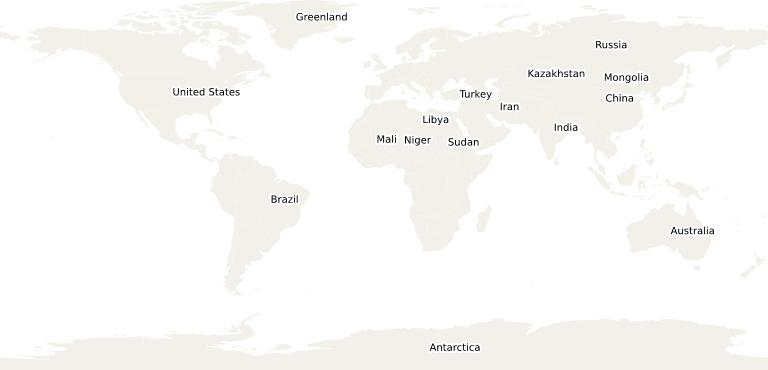
Then go to 'Countries of the World', drop down the menu at the right and under WMS select eg the JPEG-PNG option. This will produce an image like below - obviously a simple raster image as you can check when you copy it into your preferred image handling software (like IrfanView). GeoServer offers a broad range of output formats for WMS >check them here!
This image was generated by a WMS request to the server, where the underlying data source was rendered and converted into an image (like a screenshot at the server) and set back to the client. When the user zooms in, the entire process has to be repeated for an enlarger subset. Obviously, this approach generates a lot of network traffic when multiple users interactively explore a geographic region.
You can also check out other format options under WMS: some, like TIFF, typically cannot be displayed by your browser and you will instead be offered a download option. Clearly, a WMS always creates a server-side image and provides this to the client, one way or another.
