Links and Resources
| Site: | Geoinformatics - University of Salzburg |
| Course: | Spatial Representations and Spatial Data Infrastructures |
| Book: | Links and Resources |
| Printed by: | Guest user |
| Date: | Monday, 8 December 2025, 3:46 AM |
1. Intro
For large data sets with many users simultaneously navigating across different locations, it would be impractical to always render the map on the server on demand, response times and server load would exceed all limitations.
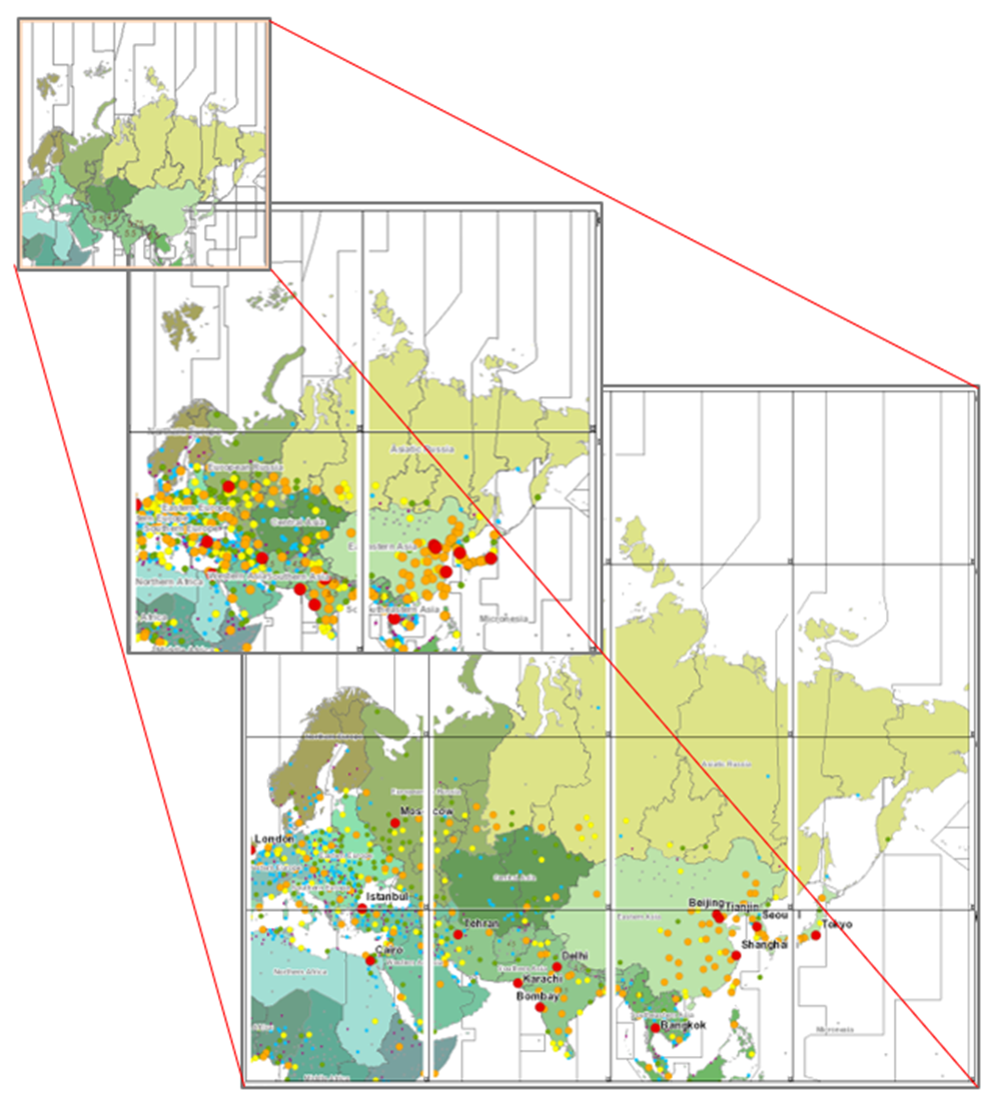
The entire map area (like, sometimes, the world) is therefore split into square 'tiles' and pre-rendered for several fixed resolutions = scales. This implies the availability of fixed scales (typically around 19 from coarsest to finest) only, with the tiles held in caches in one or more places along the chain of delivery from server to client.
To appreciate the performance and to have a peek-under-the-hood of a WMTS, check out this example from OpenLayers!
A Web Map Tile Service (WMTS) is specified as a standard by the OGC and implemented in various architectures.
Another, more advanced development is the tiling, caching and delivery of vector tiles to the client. With this approach no pre-rendering is done on the server, but vector data are delivered (in square tiles, again organized into multiple levels - figure below) straight to the client where visualisation happens (see OSM and other examples below.
One concern by some actors is the potential for copying of original data by end users. If this needs to be avoided, web map tiles are the preferred approach.
2. Accessing basemap.at WMTS
The Austrian basemap.at initiative implemented by the geoland consortium provides access to a nationwide basemap via WMTS.
Open arcgis.com and login, go the the map window and Add | Add Layer from Web, from the dropdown options select 'A WMTS OGC Web Service' and enter https://basemap.at/wmts, then click 'GET LAYERS'. Any of the options will do, eg 'Geoland Basemap Grau'.
The result should look similar to the map below. Watch when you are changing scales rapidly, the display of individual tiles is visible (depending on internet speed):
3. OSM as Vector Tile Service
The well established OpenStreetMap (OSM) content recently has been made available as a vector tile service as well (see this blog entry).
The beta version of this service is described here and can easily be visualized in this standalone app.
The underlying OSM data are served as vector tiles according to this specification, and rendered with a style which can be specified by the end user. Instructions and materials for styling can be found on GitHub.
Explore the zoom and pan characteristics of this map below, and compare it with the different behaviour and performance compared to standard OSM!
4. Explore the styling of vector tiles
One key advantage of vector tiles is the option to 'style', to adjust rendering to specific client needs without having to work with server-side setups.
Use this editor to explore changing the visual appearance of a variety of basemaps >ArcGIS Vector Tile Style Editor. Experiment with changing the appearance of various map layers and elements - this only is possible because vector elements are cached locally on the browser and rendered according to the requested style. This flexibility in styling would NOT be feasible with a web map service.
Another, similar >styling playground.